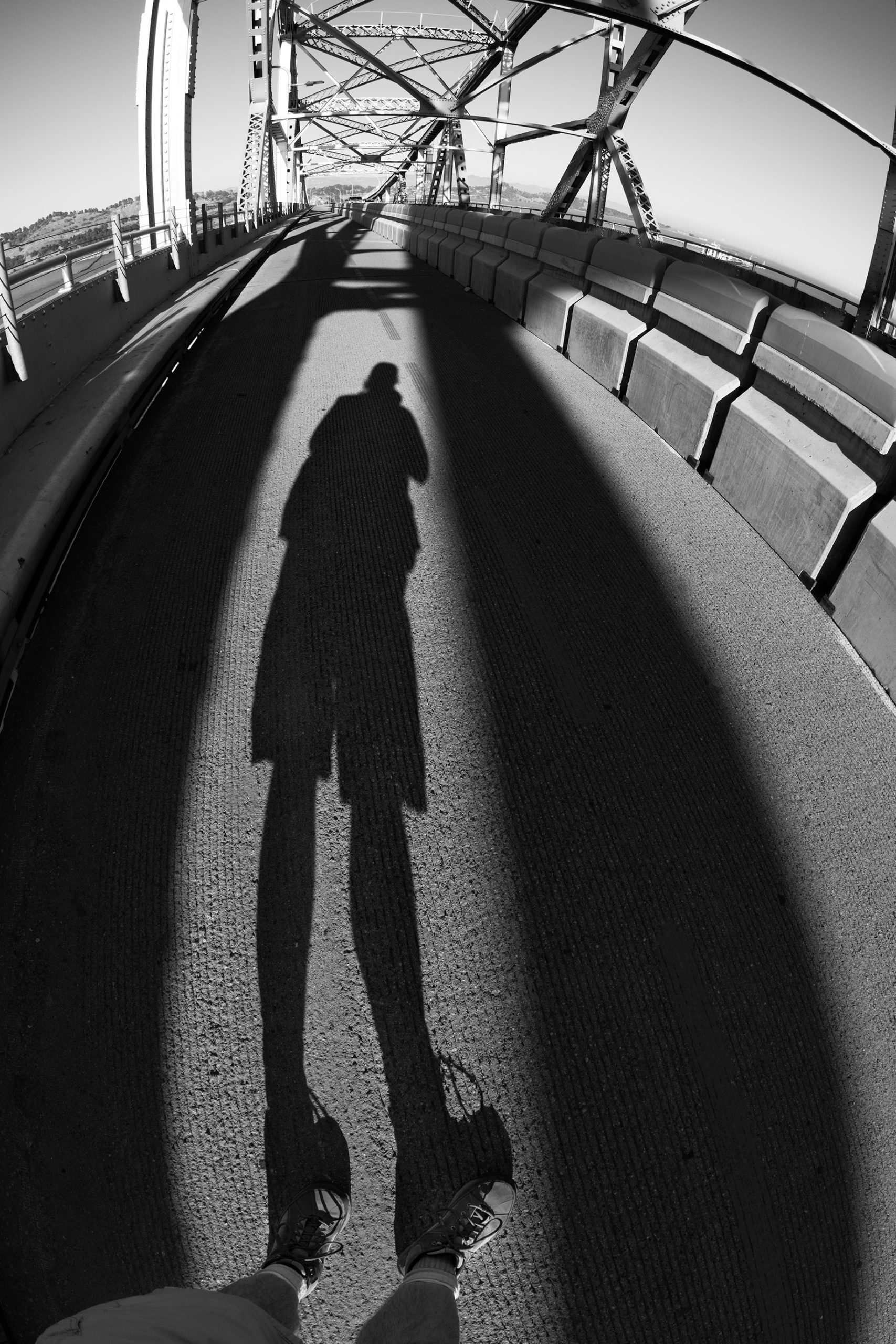
The Richmond-San Rafael Bridge, also officially the “John F. McCarthy Memorial Bridge,” opened in 1956, displacing the last car ferry across San Francisco Bay. Recently, a lane on the upper deck of the bridge was converted to pedestrian and bike use (more bike than hike, in my observation). This comes close to completing a trail network that can be used to circumnavigate the Bay.
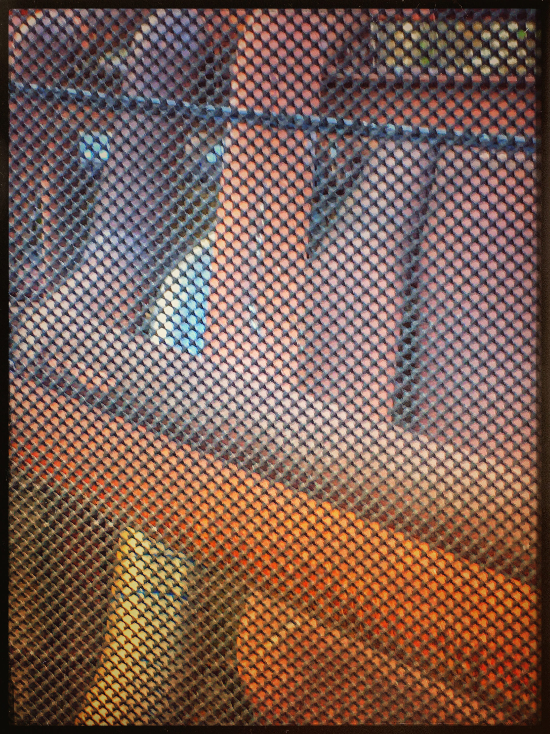
On a startlingly bright recent late afternoon, I found a place to park in Port Richmond near the bridge access trail. It was little over a mile from there to actually being on the bridge. Most of this trail section was between the highway (Interstate 580) and the notorious Richmond Chevron refinery (hence the pipes photographed through a chain link fence with my iPhone shown below).
Once on the Bridge, it is a little more than five miles to Point San Quentin on the Marin side. I walked about half way, to the first cantilever. The shadows were growing long (see the first photo in this story!). Heading back to my parked car, I noted how much fun it was to explore some place new again with my camera, just like before the pandemic, even if the new location was close to home.